Length: 3.8 km
Difference in height: 90 mt
Travel time (hours): 1:20
Suitable for: everyone
Trail description
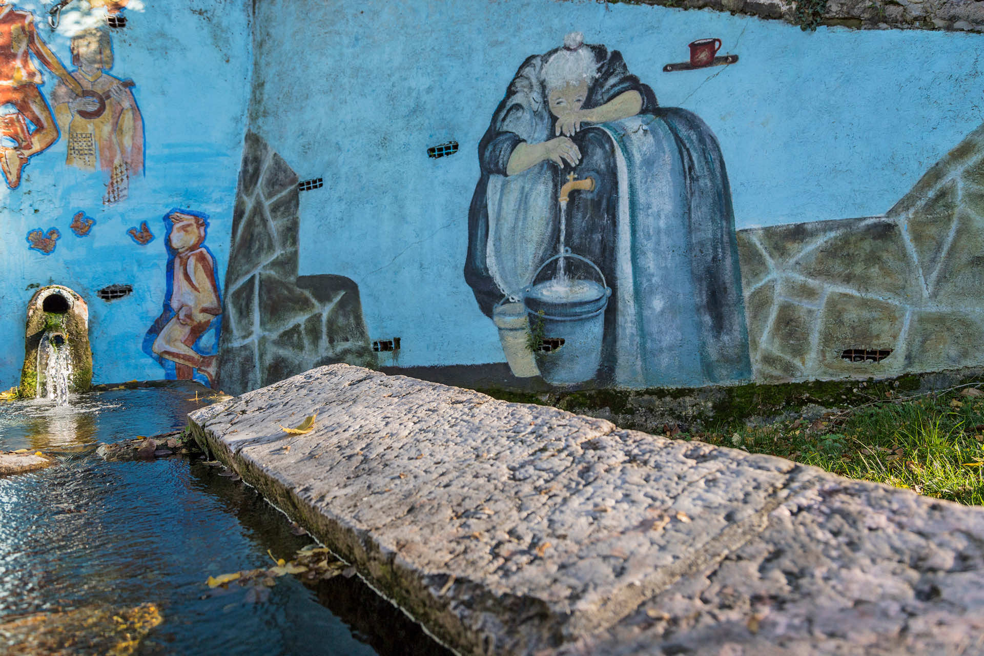
The trail starts from the Stallavena gym's parking lot, and continues south, along the provincial road, between the sidewalk and the biking trail, until you reach Orè's crossroad. From the crossroad, continue along the CAI trail 271A, gradually climbing up toward the watershed, passing the Sant'Antonio church and then, through the narrow hairpin bends, reaching the Torre del Falasco junction.
a Keep right to continue a few more hundred meters, passing in front of the amazing Grotta del Falasco under the rocks, and then reaching the ruins of the Falasco artefacts, including the peculiar round tower staircase, which connects the plateau. Continuing by foot, you can reach the ruins of an artefact on the rocky wall..
Take the outward trail to get back to Stallavena, passing Orè and the biking trail.
Stages of the trail:: Stallavena (230m) - Orè (225m) - Falasco junction (295m) - Falasco Tower (320m) - Falasco junction (295m) - Orè (225m) - Stallavena (230m)
Warning: in order to use the map of the GPX file you need an external application downloadable from PlayStore or AppStore.

Follow Feet's signs
All trails are marked by signposts, trail poles indicating the path (sometimes with information stands) and message boards.
Orange indications refer to hiking trails, while light blue ones to biking trails.


Project financed in part with the contribution of Bim Adige
© FEET Comune di Grezzana. Tutti i diritti sono riservati | Privacy Policy | Cookie Policy
The textual and video-photographic materials are owned by the Municipality of Grezzana. Even partial reproduction is forbidden without prior authorization.