Length: 4.5 km
Difference in altitude: 130 mt
Travel time (hours): 1:20
Suitable for: everyone
Trail description
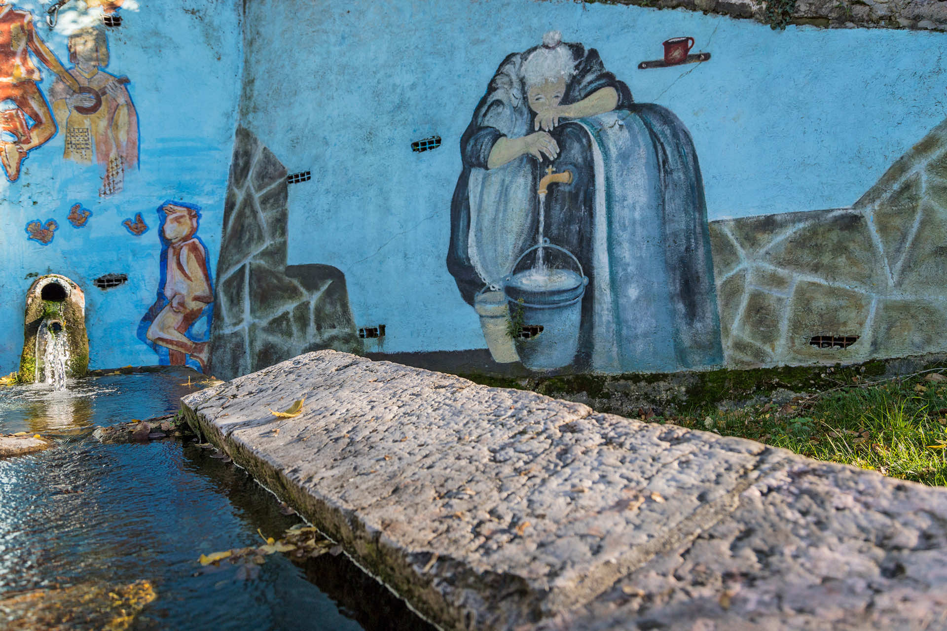
From Alcenago's church parking lot, continue along the paved road to Vigo, until you reach a shrine. Continue on one side of the shrine, along an uphill dirt road, with a steep climb that ends on a paved road, near a crossroad. There is another shrine right in front of you, with a Madonna and Child inside it; a few hundred meters after the shrine, you'll reach the provincial road to Fiamene, which you must take in the opposite direction for a few meters, until you reach the crossroad to Monte Comun. The trail continues climbing up this road for a few hundred meters, and then turning left to leave the paved road and start a long and winding downhill stretch, on a nice trail in the thick woods. This section ends a few dozen meters before the Salvalaio district, which you will not reach, since you will continue along the provincial road, toward the small Rupiano fraction. Before exiting Rupiano, continue left, along a dirt road, that will take you back to the provincial road, without getting on it. Cross it to continue along a trail that climbs down Alcenago's evocative ancient stone quarries.
From the openings in the quarries forest, take one last trail, which will take you back to Alcenago and to the starting parking lot in just a few minutes.
Stages of the trail:: Alcenago church (406m) - Vigo di Alcenago junction (511m) - Salvalaio junction (470m) - provincial road junction (477m) - Rupiano (396m) - Alcenago church (406m)
Warning: in order to use the map of the GPX file you need an external application downloadable from PlayStore or AppStore.


Follow Feet's signs
All trails are marked by signposts, trail poles indicating the path (sometimes with information stands) and message boards.
Orange indications refer to hiking trails, while light blue ones to biking trails.


Project financed in part with the contribution of Bim Adige
© FEET Comune di Grezzana. Tutti i diritti sono riservati | Privacy Policy | Cookie Policy
The textual and video-photographic materials are owned by the Municipality of Grezzana. Even partial reproduction is forbidden without prior authorization.