Lunghezza: 8,7 km
Dislivello: 470 mt
Travel time (hours): 2:40
Suitable for: hikers
Trail description
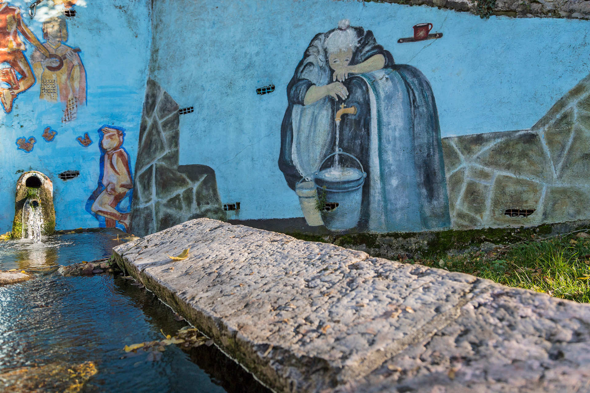
Bellori's watermill is the starting point of this long trail climbing up the ridge between Vaio dell'Anguilla and Vaio della Marciora, until the Erbezzo town borders.
Flanking the watermill, climb up the ridge trail, which is a county road that reaches the paved provincial road right below the Chiavara district; continue on the provincial side for a couple of hairpin turns uphill, then turn right before Chiavara, along a nice forest trail, until you reach the dirt road between Corso and Maioconi. Chiavara; si prosegue a lato della provinciale per poche decine di metri per poi imboccare un sentiero in salita a sinistra che si inserisce in una carrareccia che in breve raggiunge Chiavara; da qui si prosegue sul lato sinistro della provinciale fino ad una piccola croce in pietra, dove si lascerà l’asfalto e si salirà a destra per una stradella che raggiunge la frazione di Corso.
This road continues toward Corso, stopping on the great scenic red chair overlooking Corso, and the Sant'Anna d'Alfaedo ridge, toward Monte Baldo's peaks. The trail does not reach Corso's town. It passes it uphill, to reach the provincial road again. Take it to pass the Martini and La Rocca districts.
Right after this charming place, on the right of the same-named mountain, leave the provincial road, to climb up the paved county road, toward Portello and Costamora; halfway along the climb, a few hundreds meter from the road, along a steep, arduous and barely visible track, you can reach the Madonna del Bégale, a wall painting by Celestino dal Barco, on a rocky wall right on the border between Grezzana and Erbezzo. Martini e contrada La Rocca.
Continuing along the road, you'll notice the signs of a CAI track that, cutting through a few hairpin turns, allows you to reach the scenic Portello district, also on the border with Erbezzo, in a very short time. From Portello, take the road downhill toward the equally beautiful Maioconi district. Portello e Costamora; a metà della salita, a poche centinaia di metri dalla strada lungo un’impervia e ripida traccia appena visibile*, si può raggiungere la Madonna del Bégale, pittura murale realizzata da Celestino dal Barco su una parete rocciosa proprio sul confine tra Grezzana e Erbezzo.
The buildings are surrounded by a beautiful landscape, among well-tended forests and pastures, and so is the district's access road, which we will take back downhill to get back to the crossroad with the previous uphill trail. From here, do the trail backward, to get back to Bellori's watermill. Portello, anch’essa sul confine con Erbezzo; da Portello inizia una progressiva discesa, in parte su strada sterrata in parte su sentiero ben segnato, che conduce all’altrettanto panoramica località Maioconi. Molto bello è il contesto degli edifici di questa località, tra boschi e prati pascoli ben curati, così come ben tenuta è la strada di accesso alla località, che noi percorreremo in discesa fino a ritornare verso Corso. Lungo questo tratto è d’obbligo una tappa alla grande sedia rossa panoramica che domina la frazione di Corso e la dorsale di Sant’Anna d’Alfaedo fino alle creste baldensi; il rientro al punto di partenza si effettuerà seguendo a ritroso il tratto di andata dal capitello posto all’incrocio sopra Corso.
* This path is very challenging, and can only be run by those who do not suffer from vertigo and are used to exposed routes.
Stages of the trail:: Bellori (340m) - Chiavara (525m) - Corso (590m) - La Rocca (629m) - Madonna del Bégale junction (660m) - Portello (785m) - Maioconi (740m) - Corso (590m) - Chiavara (525m) - Bellori (340m)
Warning: in order to use the map of the GPX file you need an external application downloadable from PlayStore or AppStore.


Follow Feet's signs
All trails are marked by signposts, trail poles indicating the path (sometimes with information stands) and message boards.
Orange indications refer to hiking trails, while light blue ones to biking trails.


Project financed in part with the contribution of Bim Adige
© FEET Comune di Grezzana. Tutti i diritti sono riservati | Privacy Policy | Cookie Policy
The textual and video-photographic materials are owned by the Municipality of Grezzana. Even partial reproduction is forbidden without prior authorization.