Length: 6 km
Difference in altitude: 250 mt
Travel time (hours): 1:45
Suitable for: everyone
Trail description
ATTENZIONE: A causa delle intense piogge delle ultime settimane il percorso B4 presenta alcuni tratti impervi. Si raccomanda la massima attenzione e prudenza. Il Comune sta valutando le modalità di sistemazione dei tratti interessati.
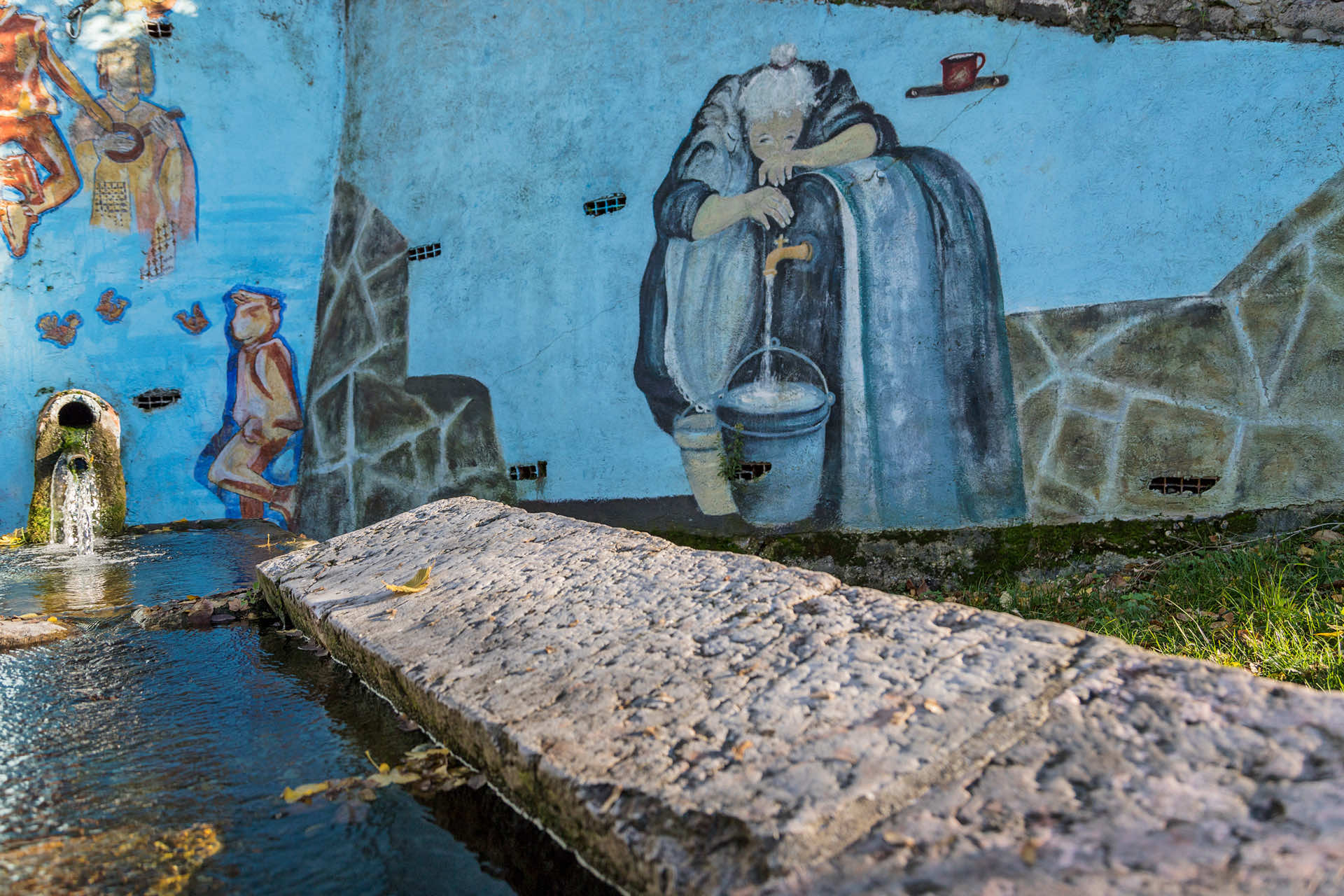
This nice ring trail starts just south of Lugo, from Nogare, and it climbs up the Valpantena left side; from Nogare's shrine, take the amazing cart track that, among meadows and rows of trees, will take you toward the foothill farmyards and quarters.
Always keep the left at the crossroads, to approach Cason - a scenic row of houses facing south. Beyond Cason, continue along the trail, until you reach a junction to the right, which will take you on the paved road to Corrubio, near the hairpin turn toward Peretti; continue on the paved road to reach Corrubio, then take the road downhill among the district's houses, walking down southward, along the road that will soon become a dirt trail.
This stretch is especially scenic, before entering a nice and well-kept hillside forest. Halfway through the slope, you will find a couple of junctions; stay on the main track, to reach the valley bottom, on the Pernisa paved road. One of these junctions deserving a detour is the charming Grotta delle Boccare, a karst caves complex along a rocky wall on the vaio's right side.
The access trail is well-marked, even though it is steep on some points, therefore not suitable for inexperienced hikers. Once you reach the paved road, continue for a few meters before turning to the left, on the dirt track that runs along the industrial area, taking you back to the starting point, in Nogare.
Stages of the trail:: Nogare (300m) - Cason (425m) - Corrubio (550m) - Bocca cave junction (445m) - Pernisa junction (307m) - Nogare (300m)
Warning: in order to use the map of the GPX file you need an external application downloadable from PlayStore or AppStore.


Follow Feet's signs
All trails are marked by signposts, trail poles indicating the path (sometimes with information stands) and message boards.
Orange indications refer to hiking trails, while light blue ones to biking trails.


Project financed in part with the contribution of Bim Adige
© FEET Comune di Grezzana. Tutti i diritti sono riservati | Privacy Policy | Cookie Policy
The textual and video-photographic materials are owned by the Municipality of Grezzana. Even partial reproduction is forbidden without prior authorization.