Trail C1 - Biking on the Rosaro and Praole rift
Trail with paved uphill road, wide views on the hairpin turns, and, near Rosaro, a downhill stretch between meadows and forests, with the road turning into a large dirt track, after Praole, and down to the vaio. From Lugo, reach Stallavena and then following the valley bottom biking trail, up to Grezzana.
Length: 19 km
Difference in altitude: 440 mt
Travel time (hours): variable
Suitable for: cyclists
Trail description
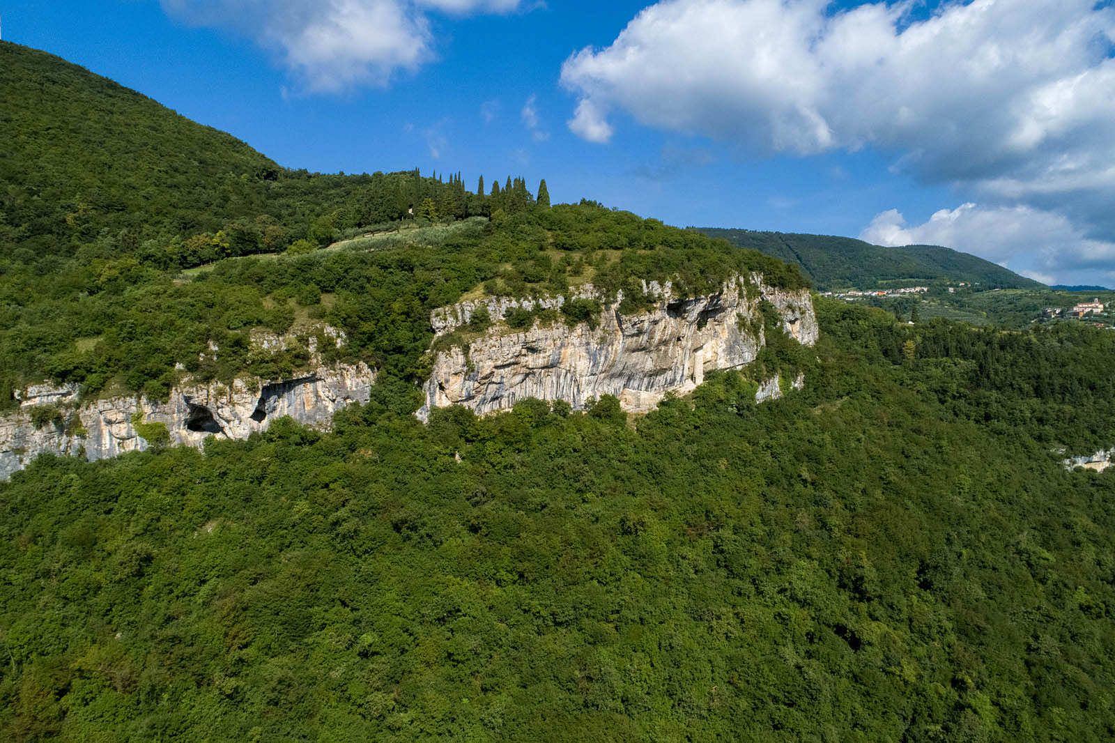
The north-western Rosaro district is the highest point, and the main stop of this amazing scenic trail, which starts from Grezzana's centre and climbs up east, along the paved road that connects Catena - with gradual hairpin turns - to Val Busa and then to the biggest town of Busoni, near the provincial road.
From Busoni, continue crossing the provincial road on the new roundabout, to reach Rosaro, and then continue north toward Praole, in the Cerro Veronese municipality. The scene becomes gradually wider and more beautiful, with breathtaking views over Monte Baldo and the upper Western Lessinia. Once you reach Praole, continue downhill, toward the Vaio di Cavazze, along the Pernisa road, to reach the provincial road to Erbezzo. From here, continue south, on a slightly sloping road, passing Stallavena, until you get back to your starting point in Grezzana.
The path can also be followed clockwise.
* At the entrance to Busoni you can opt for the conjunction of routes C1 and D1 using the connection section C3, which in 1.8km with limited elevation gain and partly asphalted and partly dirt road allows us to reach the hamlet of Azzago. In Azzago you can follow the D1 route going up towards Cerzuni and La Tenda or going down towards Romagnano and Grezzana.
Stages of the route : (anticlockwise) Grezzana (168m) - Catena (190m) - Val Busa (500m) - Busoni (573m) - Rosaro ( 596m) - Praole (562m) - Stallavena (230m) - Grezzana (168m)
Warning: in order to use the map of the GPX file you need an external application downloadable from PlayStore or AppStore.

Follow Feet's signs
All trails are marked by signposts, trail poles indicating the path (sometimes with information stands) and message boards.
Orange indications refer to hiking trails, while light blue ones to biking trails.


Project financed in part with the contribution of Bim Adige
© FEET Comune di Grezzana. Tutti i diritti sono riservati | Privacy Policy | Cookie Policy
The textual and video-photographic materials are owned by the Municipality of Grezzana. Even partial reproduction is forbidden without prior authorization.