Length: 11.5 km
Difference in altitude: 350 mt
Travel time (hours): variable
Suitable for: Cyclists
Trail description
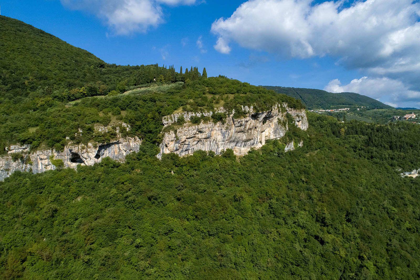
From Lugo's centre, a few dozens meter from the parish church, start climbing up the winding road that leads to the town's north-western districts, Orsara and Corrubio. The counter-clockwise trail described here heads toward Corrubio, a crossroad of many different roads connecting Grezzana al Cerro and Bosco Chiesanuova. Continue leaving the paved road near the parking lot in the city centre, and take a narrow dirt road climbing up toward a few quarries, to get back down to the Orsara baito and then to the same-named district.
In Orsara, get back on the paved road and continue north, until you cross the district right downhill from Lughezzano, in the Bosco Chiesanuova municipality. From here, start getting downhill to reach Bellori, and then - always on a slight descent - get back to the starting point in Lugo.
The path can also be followed clockwise.
Stages of the trail: (counterclockwise) Lugo (310m), Corrubio (550m), Orsara (576m), Lughezzano (Ca di sotto) (534m), Bellori (340m), Lugo (310m)
Warning: in order to use the map of the GPX file you need an external application downloadable from PlayStore or AppStore.


Follow Feet's signs
All trails are marked by signposts, trail poles indicating the path (sometimes with information stands) and message boards.
Orange indications refer to hiking trails, while light blue ones to biking trails.


Project financed in part with the contribution of Bim Adige
© FEET Comune di Grezzana. Tutti i diritti sono riservati | Privacy Policy | Cookie Policy
The textual and video-photographic materials are owned by the Municipality of Grezzana. Even partial reproduction is forbidden without prior authorization.